Key facts
- State
- California
- County
- Mono
- Development status
- Past Producer
- Mine type
- Mixed underground / surface
- Primary commodity
- Gold
- Verification
- Unconfirmed
Also known as
Mine Location
Approximate Area
Approximate Mine Area
Sign in for an approximate map location.
Open in Mine Map
Documented underground workings
Source classification: Underground operation documented
Specific physical workings are not yet documented in discrete records.
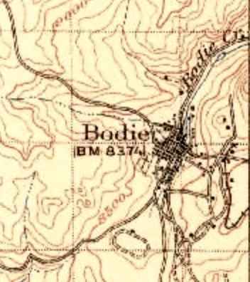
Historical mapped workings
USGS historical topographic mapping. Features may no longer exist.
- 35 shaft symbols
- 21 adit symbols
View individual source records (2)
Every underlying record used to build the summary above, for research/verification use.
- Derived from MRDS oper_type (existing operation): Surface-Underground
-
MRDS oper_type documents existing underground operation (dev_stat=Past Producer): Surface-Underground · oper_type
Verification
Unconfirmed
Source records support underground workings, but UndergroundMines has not yet independently verified this mine.
History & operations
Historical record
- Development status: Past Producer
Operators / organizations
- State of California; administered by CA State Parks in coop with the U.S. Bureau of Land Management · Source-reported owner · 2007
- Galactic Resources Ltd. · Historical operator · 2007
- Homestake Mining · Historical operator · 2007
Commodities & minerals
Reported minerals
- Adularia
- Calcite
- Chlorite
- Hematite
- Illite
- Quartz
- Argentite
- Cerargyrite
View all 15 reported minerals
- Adularia
- Calcite
- Chlorite
- Hematite
- Illite
- Quartz
- Argentite
- Cerargyrite
- Chalcopyrite
- Electrum
- Galena
- Gold
- Pyrite
- Silver
- Sphalerite
Photos
 Bodie termination
 Wikimedia Commons
Access & recent conditions
- Land
- state land
- Source
- California State Parks — Bodie SHP
- Access information last checked
- August 9, 2026
Sources & evidence
USGS Mineral Resources Data System
Type: Historical mine record
Supports:
- mine identity
- development status
- commodities
- underground eligibility evidence
USGS Historical Topographic Mine Features
Type: Historical mapped physical features
Dataset: DOI 10.5066/P9TAALR6
Supports:
- mapped shaft symbols (35)
- mapped adit symbols (21)
Historical mapped features may no longer exist.
Dataset information
California State Parks — Bodie SHP
Type: Access / land-management source
Supports:
- access / lawful visit information
View source
Approved historical / mine photographs
Type: Image sources
Record: 1 approved photograph
Supports:
Related underground mines
California · Mono County
Unconfirmed
Gold Past Producer Underground
California · Mono County
Unconfirmed
Gold Past Producer Underground
Documented adit evidence
California · Mono County
Unconfirmed
Gold Past Producer
Historical mapped workings available
California · Mono County
Unconfirmed
Gold Past Producer
Documented adit evidence
